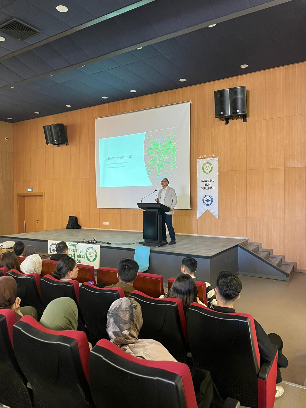
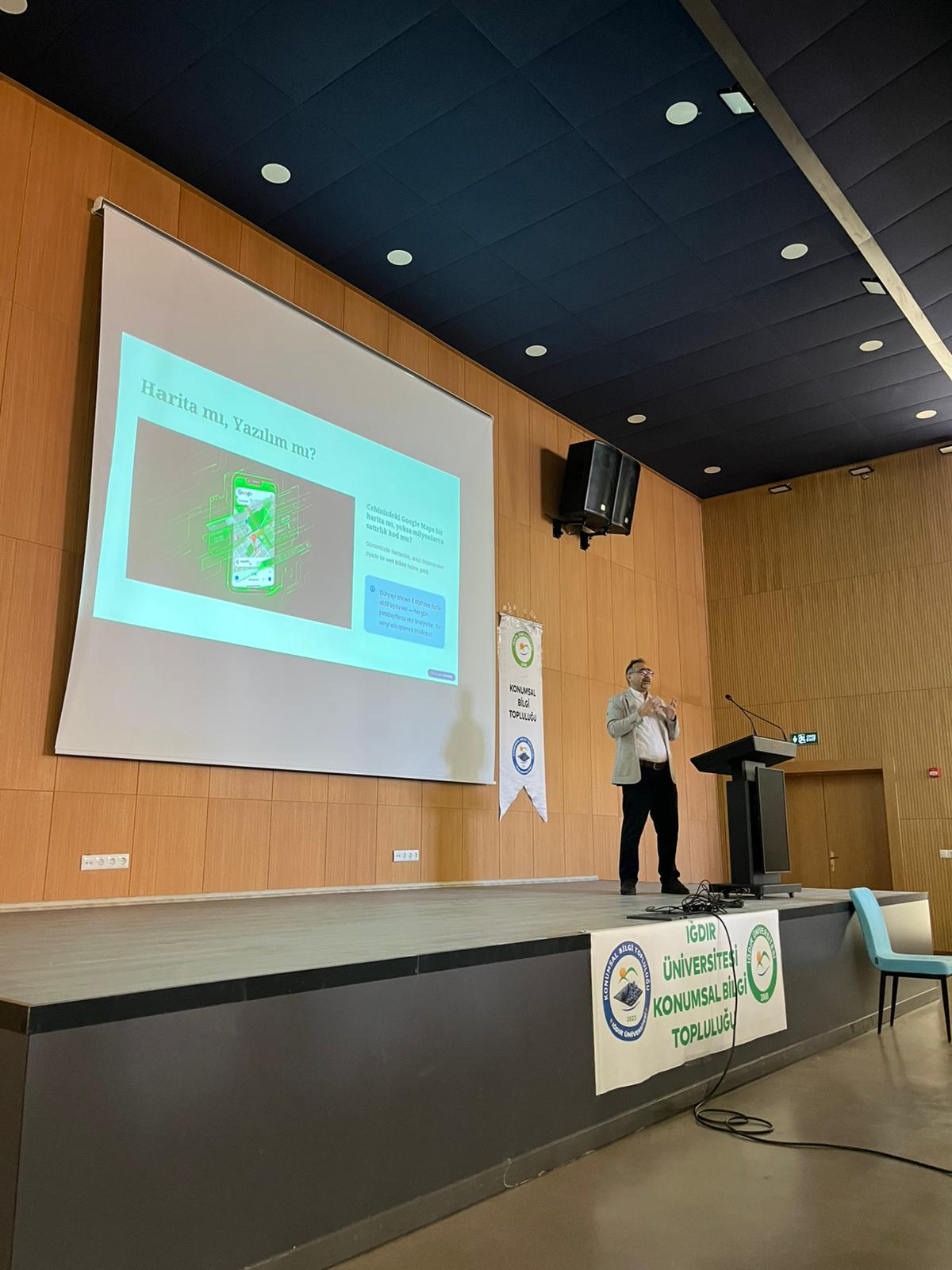
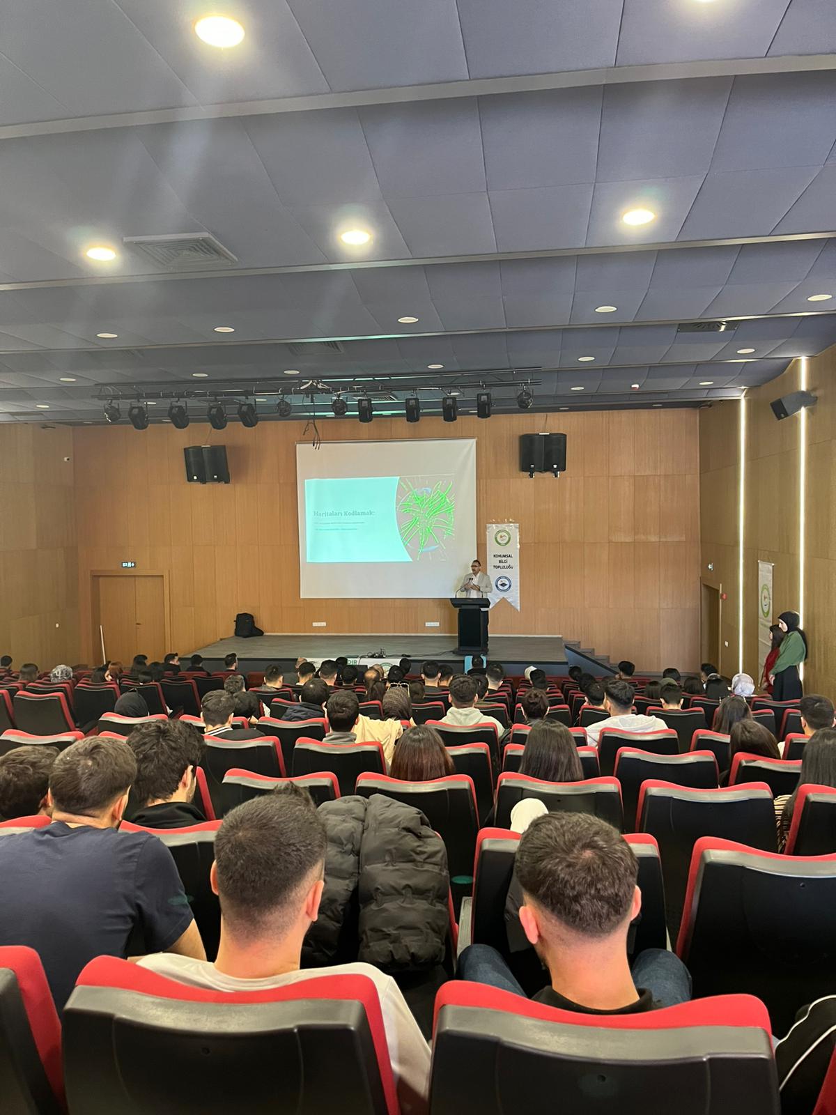
A conference titled "Coding Maps: Programming Applications in GIS and Remote Sensing" was organized
The conference titled “Coding Maps: Programming Applications in GIS and Remote Sensing” was held on Thursday at 1:00 PM in the Central Lecture Hall Conference Room with a large attendance. The speaker, Dr. Fevzi DAŞ, began his presentation by introducing participants to fundamental concepts in Geographic Information Systems (GIS) and remote sensing.
The conference covered the definition of GIS and remote sensing, their areas of application, and the possibilities of implementing these technologies in detail. Furthermore, the integration of artificial intelligence applications, which are becoming increasingly important today, with these fields was discussed. In particular, example applications carried out using the Google Earth Engine platform concretely demonstrated to participants how mapping processes can be improved from a programming perspective.
Dr. Fevzi DAŞ, Assistant Professor, emphasized that mapping can be made faster, more flexible, and more analytical not only with classical methods but also with coding-based approaches, thus providing students with new perspectives..
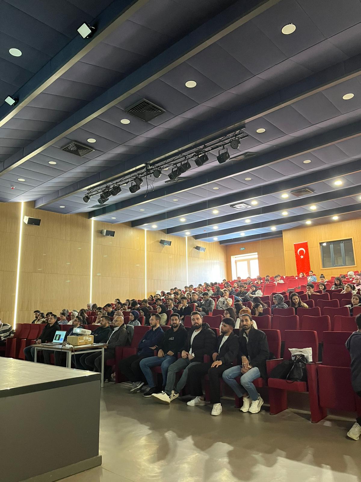
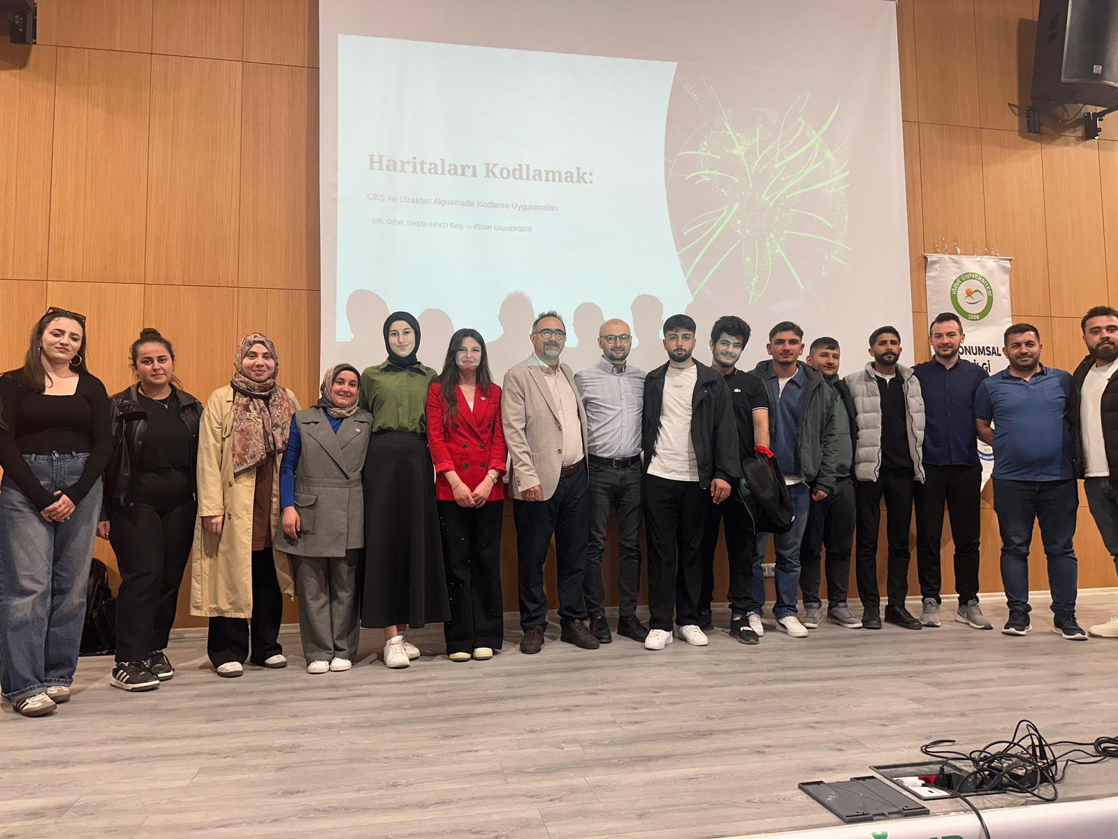
The event continued with an interactive question-and-answer session where students' questions were answered. The conference, which attracted great interest from the participants, concluded with a group photo session.
The event was attended by numerous students, primarily from the Department of Architecture and Urban Planning, as well as from the Departments of Geography and Computer Engineering. The conference was evaluated as a productive organization that strengthened interdisciplinary interaction and contributed to the professional development of students.