Our department faculty member, Prof. Dr. Aliihsan ŞEKERTEKİN, discussed remote sensing technologies at the “Science in a Café” event.
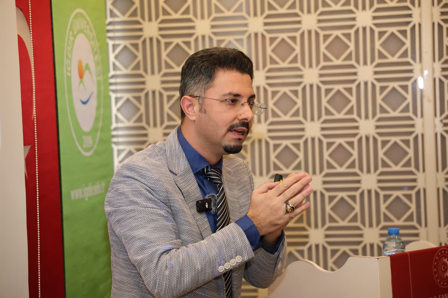
As part of the “Science at the Café” event—organized by TÜBİTAK Bilim Genç with the support of our university’s National Technology Workshop—Prof. Dr. Aliihsan Şekertekin, a faculty member in the Department of Architecture and Urban Planning and Director of the Vocational School of Technical Sciences, met with science enthusiasts to deliver a presentation titled “From Space to Earth: Discovering the Unseen.”
At an event held in Iğdır, Prof. Dr. Aliihsan Şekertekin provided participants with insights into the development of remote sensing technologies, the applications of satellite systems across various fields, and the innovations offered by artificial intelligence-powered satellite imagery analysis.
The Uses of Remote Sensing Technologies in Various Fields Were Discussed
In his presentation, ŞEKERTEKİN provided examples of recent scientific studies in the field of remote sensing and highlighted the importance of satellite technologies in areas such as urban and regional planning, monitoring land use and land cover changes, managing agricultural activities, and assessing natural disasters.
He explained—with examples—how satellite imagery is utilized, particularly in agricultural practices, to determine irrigation needs, plan fertilization processes, monitor plant health, and enhance agricultural productivity.
In addition, information was shared regarding the monitoring of natural disasters—such as earthquakes, floods, and forest fires—post-disaster damage assessment, the evaluation of environmental changes, and the use of satellite technologies in the defense sector.
Remote Sensing Applications for Iğdır Province Were Evaluated
One of the key topics of the presentation focused on remote sensing studies in the province of Iğdır. Prof. Dr. Aliihsan ŞEKERTEKİN provided examples of scientific research conducted in and around Iğdır and offered insights into potential future remote sensing applications.
It highlighted the contributions that satellite data can offer—given Iğdır’s agricultural potential, land-use characteristics, and environmental conditions—in areas such as monitoring agricultural lands, managing water resources, assessing urbanization processes, and identifying risks of natural disasters.
Strong Interest from Science Enthusiasts
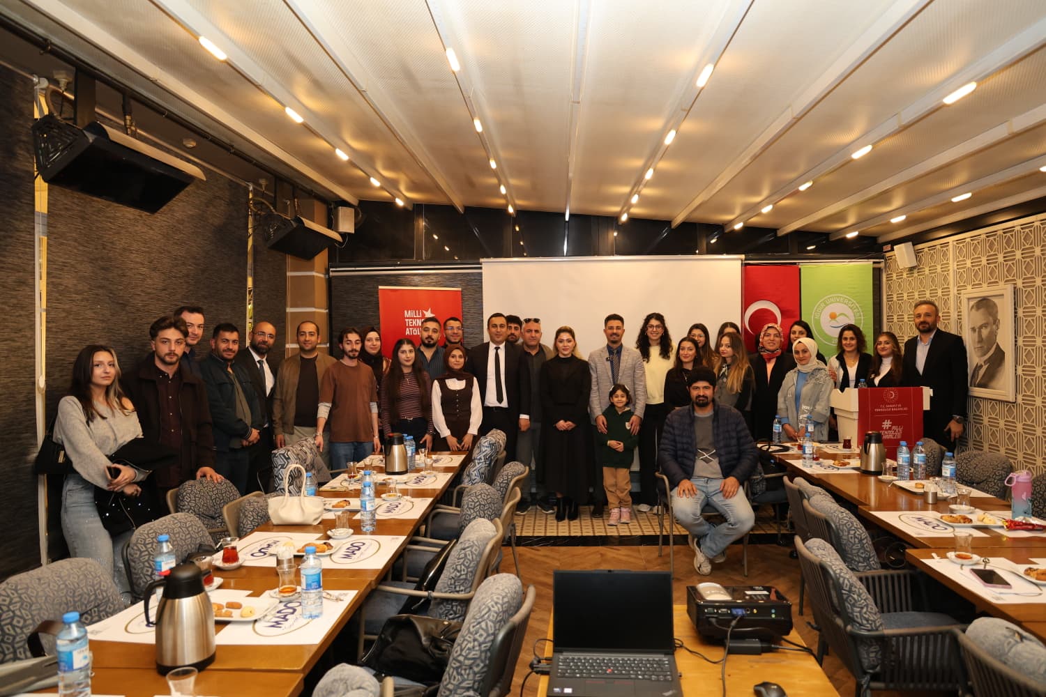
The event, which aimed to bring scientific knowledge to the public and introduce current technologies, was attended by our university’s Vice-Rectors, Prof. Dr. Uğur ŞİMŞEK and Prof. Dr. Haktan SEVİNÇ, as well as academics, students, and science enthusiasts.
The event, during which participants' questions regarding remote sensing, satellite technologies, and artificial intelligence applications were answered, concluded with a commemorative photograph following the Q&A session.